
Kingman ZIP Directory Coverage
Three postal roles matter in a Kingman ZIP code directory. Two codes describe broad delivery territories, while one is used for post-office boxes. The geographic codes are not neat city polygons. They include incorporated blocks and, in places, rural or unincorporated land that still carries KINGMAN in a mailing address.
| ZIP | Kingman Area Served | Postal Point | Research Caution |
|---|---|---|---|
| 86401 | Central, southern, and eastern Kingman plus broad rural delivery territory | Kingman Post Office, 1901 Johnson Avenue | The mailing city does not prove city jurisdiction |
| 86409 | Northern Kingman, New Kingman, and nearby areas | Kingman-area delivery | Check the incorporated boundary for each parcel |
| 86402 | Post-office boxes and administrative mail | Kingman box system | Non-areal code, not a residential district |
The 86402 code is the sharpest warning against treating postal data as a resident roll. A box receives mail, but it has no parcel footprint. For 86401 and 86409, the right next step is a parcel or city-boundary check, not a guess based on the five digits.
Scale also limits what the three surviving postal roles can tell a researcher. Census QuickFacts counted 32,689 Kingman residents in 2020 and estimated 35,829 by July 1, 2025, a 9.6 percent rise. The city covered 37.55 square miles in 2020, while the Kingman mailing name reaches beyond that legal area. ZIP-wide totals therefore cannot be treated as city-only resident totals. Use a census figure for broad context, then return to a verified address, parcel, and boundary for a person or property question.
The official USPS ZIP Code Lookup is the first check for a city-and-state query or a complete street address.
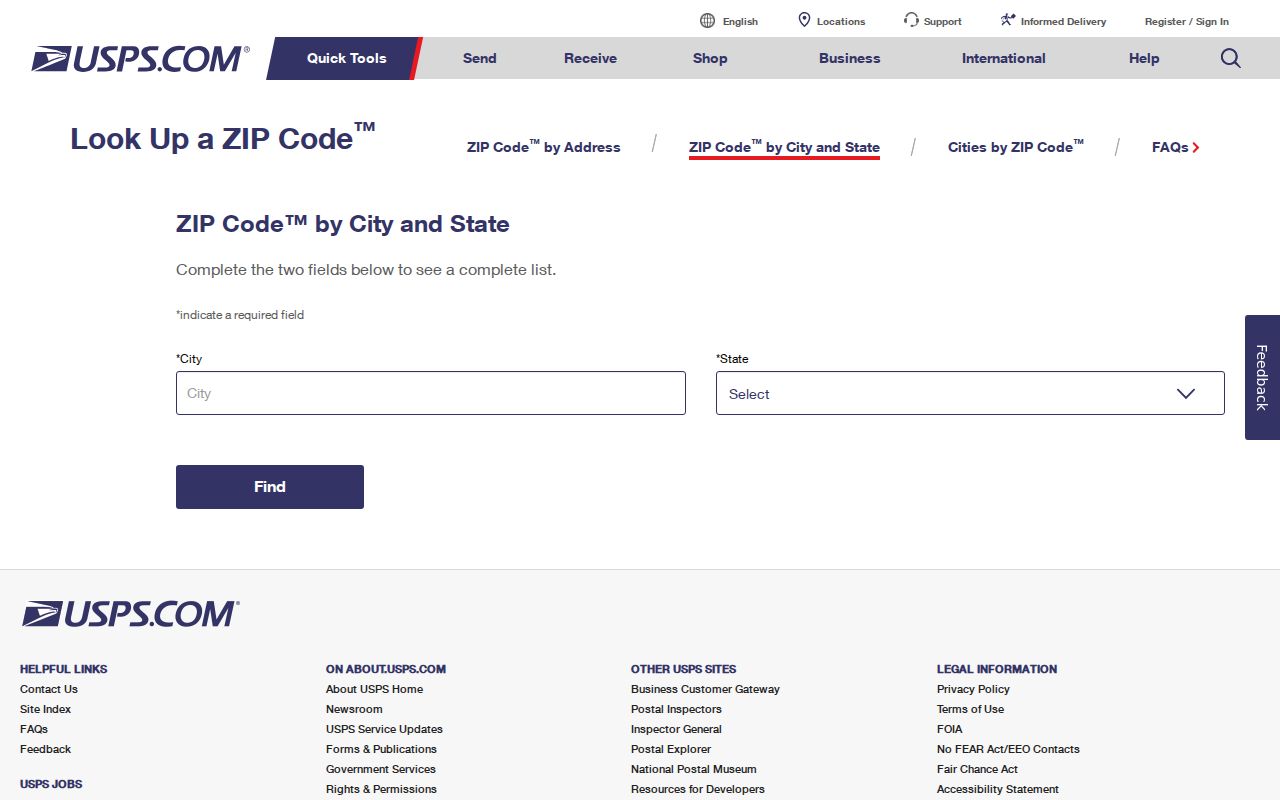
The lookup confirms postal form and delivery code; county and city maps must still settle jurisdiction.
Kingman ZIPs Cross City Lines
A Kingman ZIP is not the Kingman city limit. USPS codes route mail, while incorporation determines which local government serves a parcel. Census ZIP Code Tabulation Areas are statistical estimates and may also differ from both. A rural site can therefore use Kingman as its postal city without lying inside the incorporated boundary.
Compare the verified address with the Mohave County GIS viewer and Kingman's annexation-history layer. The annexation records run from February 4, 1952 through July 7, 2011 and include the polygon name, year, ordinance, acreage, date, and attachments. They explain why two nearby parcels with the same postal code may fall under different address authorities.
- ZIP Code
- A USPS delivery code. It is not a municipal boundary.
- ZIP+4
- An added delivery segment that narrows mail routing within a base code.
- PO-box ZIP
- A code used for mail collected from boxes rather than a mapped residential area.
- Carrier route
- A group of delivery points assigned to one postal route.
Boundary check. A tax owner or Kingman postal code does not prove that a person occupies the parcel or lives inside city limits.
Find Kingman Residents by ZIP
A sound ZIP code directory search moves from a valid address to increasingly precise public records. No verified official source publishes a complete list of residents for a Kingman ZIP. SmartGov can search public applications by site code, GIS can show geography, and the Assessor can search an address or owner. The public voter portal checks one person's registration details and is not an open ZIP browser.
- Confirm the full street address and delivery code with USPS.
- Place the address in county GIS, then compare the parcel with the city boundary and annexation layers.
- Search Kingman SmartGov by Site Zip to find public permits or applications tied to sites in that code.
- Use the Assessor with a specific address or APN. Its general search has no verified ZIP-only filter.
- Move from the postal area to a named road using the Kingman street directory when street-level detail is needed.
This sequence prevents a permit result, parcel owner, or registered voter from being mislabeled as a full household list. Each is evidence with a limited scope.
When an online search fails, use the office that maintains the record. Mohave County GIS offers map guidance and reference layers. The Assessor can be searched by owner, address, or APN rather than by ZIP alone. A city application may be requested from the Kingman custodian if SmartGov does not expose the needed file. Voter data requests go to Mohave County Elections and remain subject to authorized-use and confidentiality rules. Arizona Public Records Law permits requests for existing public records, but it does not require an office to create a new ZIP roster, analyze data, or write a custom query.
Kingman ZIP Permit Search
Kingman's SmartGov advanced application search is the clearest official ZIP-capable database in the research. A result may show activity at a site, including an application type, dates, status, address, and parcel number. It may also name an applicant or contractor. That does not establish who resides there.
| Search Field | Input | How It Narrows Kingman Results |
|---|---|---|
| Application Number | Exact identifier | Returns one known file |
| Type / Status | Dropdowns | Limits the kind and stage of work |
| Submitted / Issued / Finaled | Date fields | Separates three event dates |
| Site Address / City / Zip | Text | Supports the ZIP-wide permit view |
| Parcel Number | APN | Links the application to county land records |
Mohave Environmental Health inspection reports add another recent address-based series, with monthly PDFs posted through 2025 and into mid-2026.
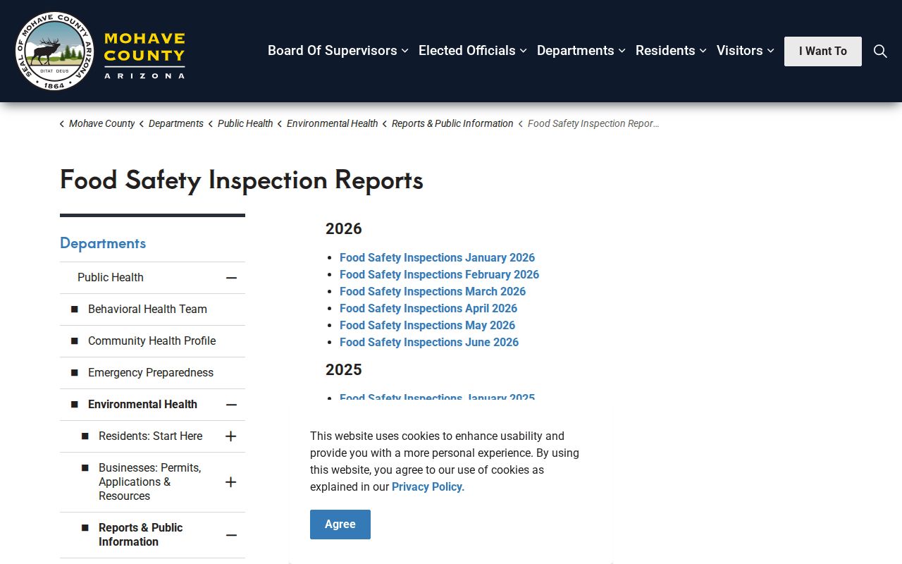
Those reports support site and business research within a ZIP, not a roster of nearby households.
Kingman ZIP Address Grid
Address numbers also carry local geographic clues. Mohave County places the Kingman area within one of its five grid systems, but county E911 staff do not assign addresses inside incorporated Kingman. City authority governs incorporated sites, while Mohave Development Services handles unincorporated parcels that may still use Kingman in their postal address.
Under county Section 43, numbers rise away from the grid axes. Traveling north, the east or right side is even and the west or left side is odd. Traveling east, the south or right side is even and the north or left side is odd. The grid allows about one odd or even number for each 21 linear feet, based mainly on access. A corner parcel receives one primary address based on its main entrance.
That system explains why the driveway, frontage midpoint, and parcel center may not align. For vacant county land, convenience alone does not justify an address; the APN and exact access point guide E911 assignment.
Inside incorporated Kingman, city permitting and address authority control the assigned site address. Outside the city, Mohave Development Services applies the county E911 rules even when USPS uses KINGMAN as the mailing city. This split is why the same ZIP code directory search may lead to a city file for one parcel and a county file for the next. Confirm the government boundary before asking either office for an address record.
Kingman ZIP Label Myth
A 2020 USPS Postal Bulletin consolidated destination container labels for several regional codes under KINGMAN AZ 86401. The affected labels included 86411, 86412, 86431, 86433 through 86438, 86441, and 86443 through 86445. This was a mail-processing change. It did not annex those communities, replace their residential codes, or turn them into Kingman neighborhoods.
The distinction matters whenever an old envelope, scanned directory, or postal database supplies the first clue. Use the label to route the next search, then verify the actual delivery code and parcel jurisdiction. That is the difference between a useful postal lead and a false geographic conclusion.
Note: Postal handling terms can change while parcel jurisdiction remains fixed, so confirm both systems when the mailing label looks broader than the address.
Three Kingman Address Identities
A ZIP code directory becomes more reliable when three address forms stay separate. The situs address identifies the parcel's physical site. The mailing address tells the Assessor where to send tax notices and may be a box, trust address, management address, or a place outside Kingman. The legal description controls land identity through lot and block or metes-and-bounds language.
An APN connects county systems, but splits and combinations can change that number. Likewise, historic Front Street now appears as Andy Devine Avenue. A 1961 directory entry already uses Andy Devine, while older maps and newspapers may use Front. Search both names when a ZIP and house number lead to no result.
The Assessor's Address Protection Program locks an enrolled taxpayer's mailing address against an unauthorized change through a set process.
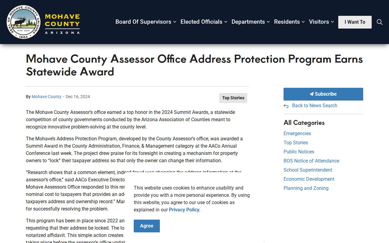
It is an anti-fraud control, not a way to hide the parcel ownership roll or redefine a postal area.
Kingman ZIP Privacy Limits
Arizona protects addresses through record-specific rules rather than a single broad deletion law. Vital records, sealed voter details, protected official addresses, court orders, motor-vehicle records, and the Arizona Address Confidentiality Program each have their own limits. ACP participants receive a substitute address and mail forwarding after applying through a registered Application Assistant. The program does not erase an address already published in an older record.
A proposed 2026 Arizona Consumer Data Protection Act discussed data-broker registration and consumer tools, but it was not enacted as of the research date.
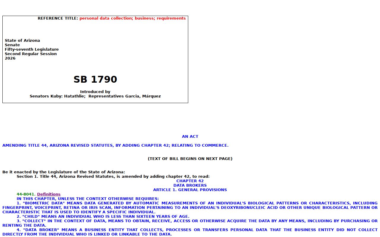
Do not treat a proposal as a current right or use postal geography to work around a protected person's address safeguards.