
Walk a Kingman Street Record
The street directory works best as a chain, not as one search box. The Assessor identifies the tax parcel and named owner. GIS confirms where that parcel sits among nearby lots. The Recorder supplies dated instruments tied to the owner, while permits and historical directories add distinct address evidence. Each source answers a different part of the question.
- Enter the full street address in the Mohave County Assessor search. Save the APN, exact site address, and indexed owner name.
- Open the same area in county GIS. Identify the parcel, neighboring polygons, streets, aerial view, and useful planning layers.
- Search the Recorder by the owner's exact indexed name. Capture the acquisition deed, recording date, reception number, and legal description.
- Check Kingman permits by address or APN for applicants, work type, status, and dated actions. Do not treat an applicant as an occupant.
- For past households, use the street sections in the verified Polk volumes, then compare names with deeds, census schedules, and newspapers.
This path moves address to parcel, parcel to owner, owner to deed, and deed to earlier parties. It also shows where certainty ends. Ownership can be verified more directly than present occupancy.
Search Kingman Street Parcels
The Mohave County Assessor Parcel Search is the live entry point for the Kingman street directory. Its general search accepts a parcel number, owner name, or property address. Returned rows list the number, site address, and owner name, with deeper parcel data available from a selected result. The county reports roughly 258,932 parcels across its roll.
| Field or control | Input | Best street use |
|---|---|---|
| Enter Search | APN, owner, or address | Begin with the exact site address, then broaden the street suffix if needed. |
| Filter Search | Result refinement | Narrow a long set of similar street results. |
| Search Tips | Portal help | Check accepted name and parcel formats. |
| History | Prior searches | Return to earlier parcels during a block walk. |
| Rows per page | 10, 25, 50, or 100 | Expand the view when browsing several lots. |
Compare the official Assessor search with the captured interface below.
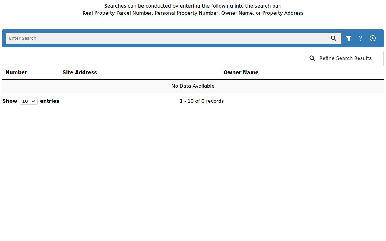
The image shows why a single general field can support an address-first or owner-first street search.
Browse Kingman Blocks in GIS
County GIS turns the Assessor result into a map. Search an address or APN, zoom until parcel boundaries are clear, and use the Identify Multi-Tool on the subject and adjacent polygons. Parcel selection can build a mailing list and export selected records as CSV, SHP, or XLSX. Layer controls add streets, aerial imagery, zoning, districts, and generalized topography.
The map is a reference, not a survey or title opinion. Parcel changes may lag by about a month, zoning updates follow another cycle, and mapped lines can be offset. Use the GIS shape to orient the street walk, then use a deed and its legal description for title questions.
Open Mohave County GIS Maps before reviewing the captured launch page.
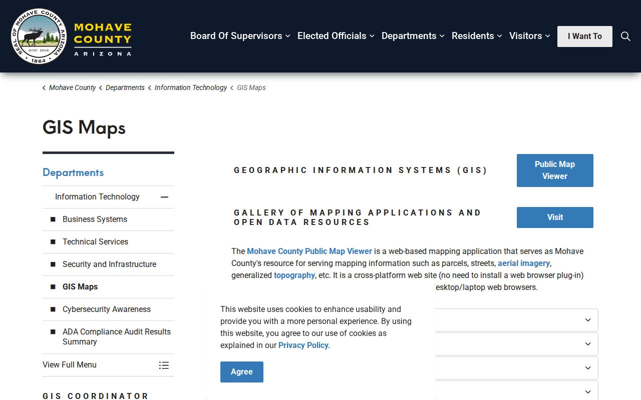
The source leads to the county's viewer and tool guidance used to identify a block without mistaking map geometry for legal title.
Note: GIS can list owners of selected parcels, but it does not identify every person who lives in the mapped homes.
Kingman Street Records by Source
Address-keyed records overlap, but they do not duplicate one another. The APN, or assessor parcel number, is the cleanest bridge across the property systems. The owner name then becomes the bridge into deeds.
| Address source | Kingman evidence | Keeper | Access channel |
|---|---|---|---|
| Assessment roll | Owner, situs, mailing address, APN, values, and use | Mohave Assessor | Free parcel portal; office help for roll fields |
| Parcel map | Lot geometry, nearby parcels, streets, zoning, and districts | Mohave GIS | Free interactive viewer and export tools |
| Recorded instruments | Named parties, deeds, liens, releases, plats, and dates | Mohave Recorder | 1988 onward online; counter, request form, and microfilm for older records |
| Tax statement | Tax year, account, authorities, values, and payment context | Mohave Treasurer | Parcel or account lookup and counter |
| Permits | Application, work, applicant, parcel, status, and milestone dates | Kingman Development Services | SmartGov or targeted public-record request |
| Historic street section | Listed householders arranged by address | Arizona Memory Project | Digitized 1937, 1961, and 1963 Polk volumes |
The voter roll is a limited corroborating source, not a public street browser. A governed request may include releasable residence addresses for a permitted use under A.R.S. §16-168, but the personal voter portal does not allow open searches of a Kingman block.
Turn Kingman Addresses into Deeds
The Recorder is not reliably searchable by street address, APN, or courtesy legal description. Translate the address through the Assessor first. Search the resulting owner in the Mohave Recorder index, using last name first without a comma, and narrow by date or document type. The online index can also use reception number, book and page, and supported legal-description text.
A result can list party roles, recording date, document type, reception number, book and page, and legal-description information. The underlying image provides the operative terms. A grantor transfers an interest; a grantee receives it. To move backward, open the current acquisition deed, find the grantor, then search that party as an earlier grantee.
Review the Recorder search disclaimer shown in the captured entry screen.
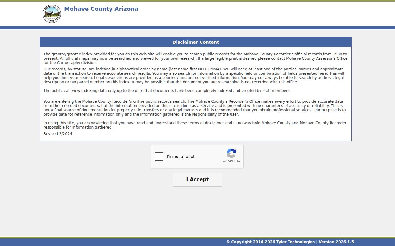
The disclaimer reinforces that only fully indexed and proofed records appear and that courtesy legal descriptions are not verified.
Carry Kingman Deeds Past 1988
The free self-service index begins in 1988. Earlier title work continues at the Recorder's office, 700 W. Beale Street, through older indexes, deed books, and microfilm. Bring the last known owner, book-page or reception citation, approximate range, and legal description. The office is open Monday through Friday from 8 a.m. to 5 p.m. and can be reached at 928-753-0701.
Written requests use the current Recorder form. Mail-copy requests need a self-addressed stamped envelope. Copies cost $1 per page, and certification costs $3 per document. Card payments changed in July 2025 to a $1.50 minimum or 3.5 percent transaction fee, whichever is greater. The index itself remains free.
Read the Mohave Recorder payment update represented below.
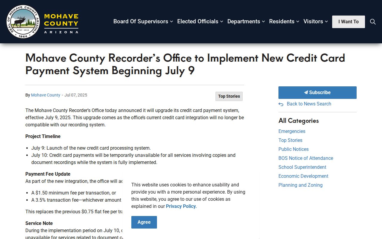
The update separates a payment-processing charge from statutory recording and copy charges, which should be checked again before ordering.
Check Kingman Permits by Address
Kingman's SmartGov search accepts a parcel number, address, or owner name. Its advanced application mode adds application number, type, child license, process status, submitted date, issued date, finaled date, site address, site city, site ZIP, and APN. Those fields can reveal construction, reroofing, utility work, additions, and changes in use.
A permit names an applicant or contractor, not a full household. Old permit jackets may exist only on paper or as scans. If the portal does not return an expected record, ask Development Services or the City Clerk for a defined permit series, street address, parcel, case type, and year range. Arizona Public Records Law supports inspection of public material but does not override redaction or confidentiality.
The dedicated ZIP field can also group recent applications, though it should not be treated as a Kingman resident list. Permit status dates show a workflow, not necessarily the exact date that work began or ended.
Read Kingman Address Terms Correctly
Three address concepts prevent most street directory errors. A tax-mail address can belong to a PO box, trust, manager, or owner who lives elsewhere. The physical street site has a different purpose, while the deed's legal text controls the titled land.
- Parcel or APN
- A mapped assessment unit and its county identifier; it can change after a split or combination.
- Situs address
- The physical address assigned to the taxable property.
- Legal description
- The title-controlling lot, block, subdivision, or metes-and-bounds description.
- Plat
- A recorded map showing lots, blocks, streets, and other surveyed divisions.
- Criss-cross directory
- A directory arranged by street and house number, allowing an address-to-name search.
A mailing and situs match may support an owner-occupancy theory. It is still not proof. A mismatch is not an error by itself and can be the most useful clue that ownership and occupancy differ.
Kingman Streets Cross Boundaries
County E911 addressing rules do not assign numbers inside incorporated Kingman. City authority handles those sites, while Mohave Development Services numbers unincorporated parcels that may still use Kingman as their postal city. A Kingman mailing line therefore does not prove city jurisdiction.
The county grid raises numbers away from origin axes. On northbound travel, even numbers are on the east or right and odd numbers on the west or left. On eastbound travel, the south or right side is even and the north or left side odd. The system generally allocates an odd and even number per 21 linear feet based on access, while a corner lot receives one primary address based on its main entrance.
Historic searches need another bridge. Front Street is now Andy Devine Avenue, and a 1961 directory entry already uses Andy Devine. Search both names in maps, Polk pages, permits, and newspapers. City annexation layers cover changes from February 4, 1952 through July 7, 2011, adding ordinance and date context to a street that crossed into Kingman.
Read Kingman Streets in Polk
The historical street tool is the Arizona Memory Project's R.L. Polk set for 1937, 1961, and 1963. Search the alphabetical section for a person, then inspect the street or householder section for nearby listed names. Entries can include spouse, occupation, business link, telephone, and home address. The letters and symbols make sense only with the volume's abbreviation key.
OCR is a lead, not a transcription. It can lose a street number or mistake a surname, so compare the scan. A person present in 1961 but absent in 1963 may have moved, changed a name, been missed by the canvass, lived outside coverage, or been missed by OCR. The Kingman city directory collections give the full shelf method; a street search only uses their reverse address function.
Pair a listed occupant with the Assessor and deed owner carefully. A difference can point to a renter, relative, recent transfer, or mailing arrangement rather than a bad record.
Limits of a Kingman Street Directory
A Kingman street directory cannot supply a complete occupant roll. Property systems omit renters and household members. Historical directories omit unlisted or missed people. The voter source excludes nonregistered people, children, canceled registrations, and protected addresses. Public utility accounts and motor-vehicle addresses are not general resident directories.
No official Kingman HOA-member directory was verified. County parcel tools can create an ownership mailing list, but that list may contain trusts, businesses, and owners who receive mail elsewhere. It is not a list of neighbors who live on the block.
Lawful use. Kingman address records are for lawful personal research; never use a street lead to stalk, harass, threaten, or defeat an address-protection measure.
Confirm Recorder services and contact details through the official source captured below.
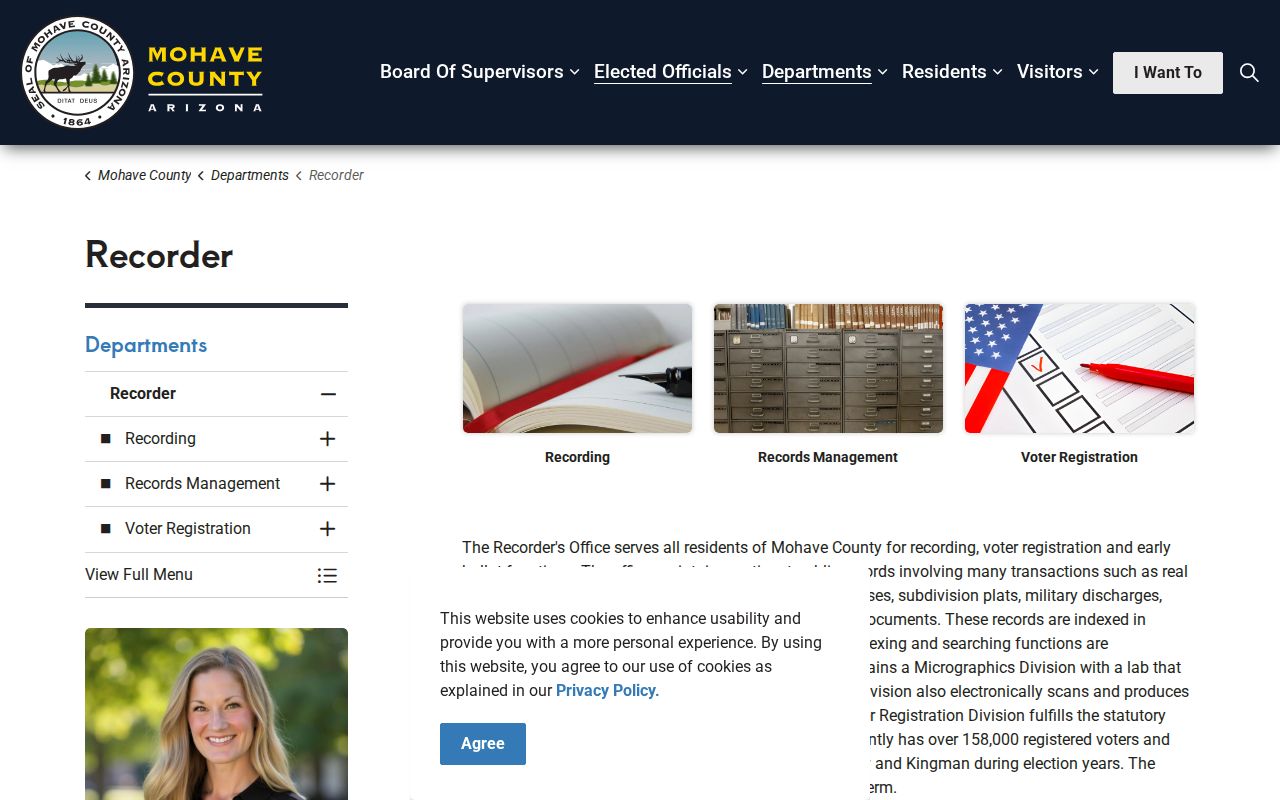
The office page is the final authority for current counter hours, forms, copy routes, and changes that may affect an address search.